... from source to convergence with the River Thames ...
The aim - to create a series of easy to follow walks, that follows the course of the River Windrush, as it winds its way through The Cotswold countryside.
This is a personal project, inspired by a book I found in an old bookshop, written in 1946 by Wilson MacArthur.
I am looking to follow some of the journey taken by Wilson back in 1946 and to locate / recreate as many of the 46 black & white photographs included in the publication that were taken along the way on his journey.....
Details and links to
detailed descriptions and photos of each walk to follow..... when complete!
WALK 1
Finding the source of the River Windrush
10.78km / 178m elevation gain
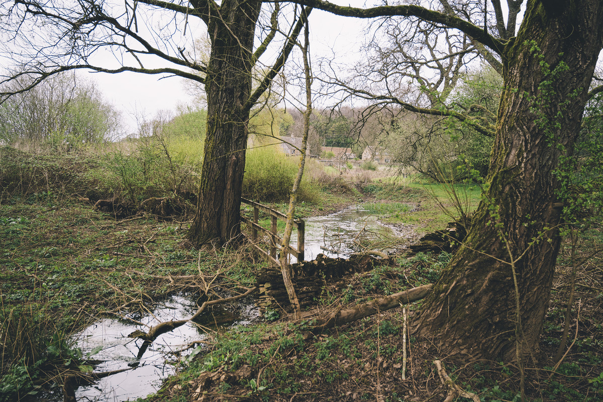
Source of The River Windrush
WALK 2
Temple to Power (The Guitings)
11.43km / 183m elevation gain
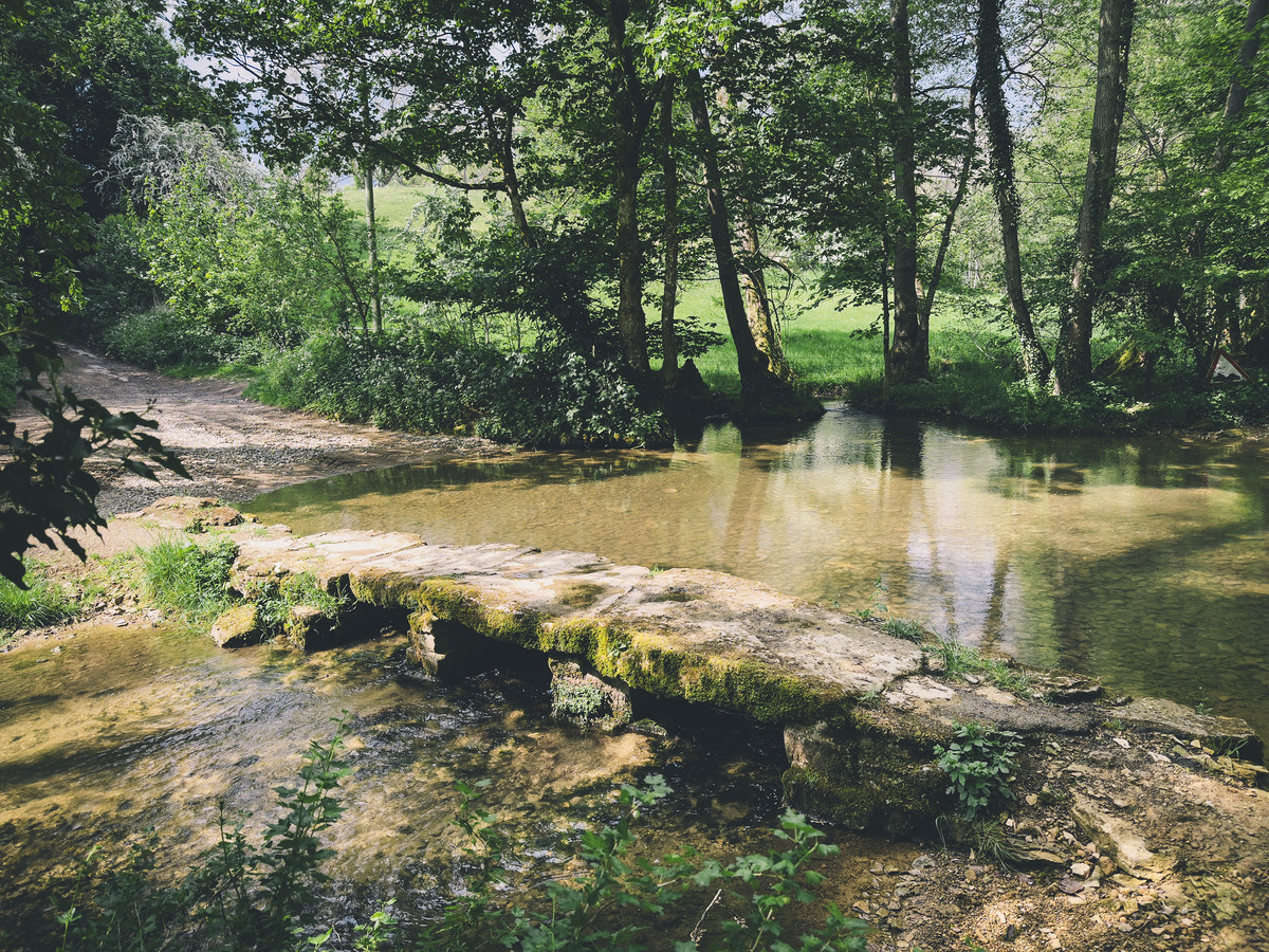
Stone Footbridges cross The River Windrush
WALK 3
Guiting Power to Naunton & Lower Harford Medieval Village
8.80km / 131m elevation gain
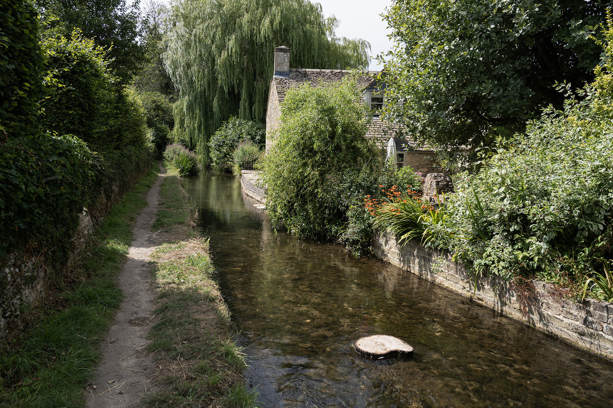
The River Windrush running through the village of Naunton
WALK 4
Lower Harford Medieval Village to Bourton-on-the-Water
13.08km / 174m elevation gain
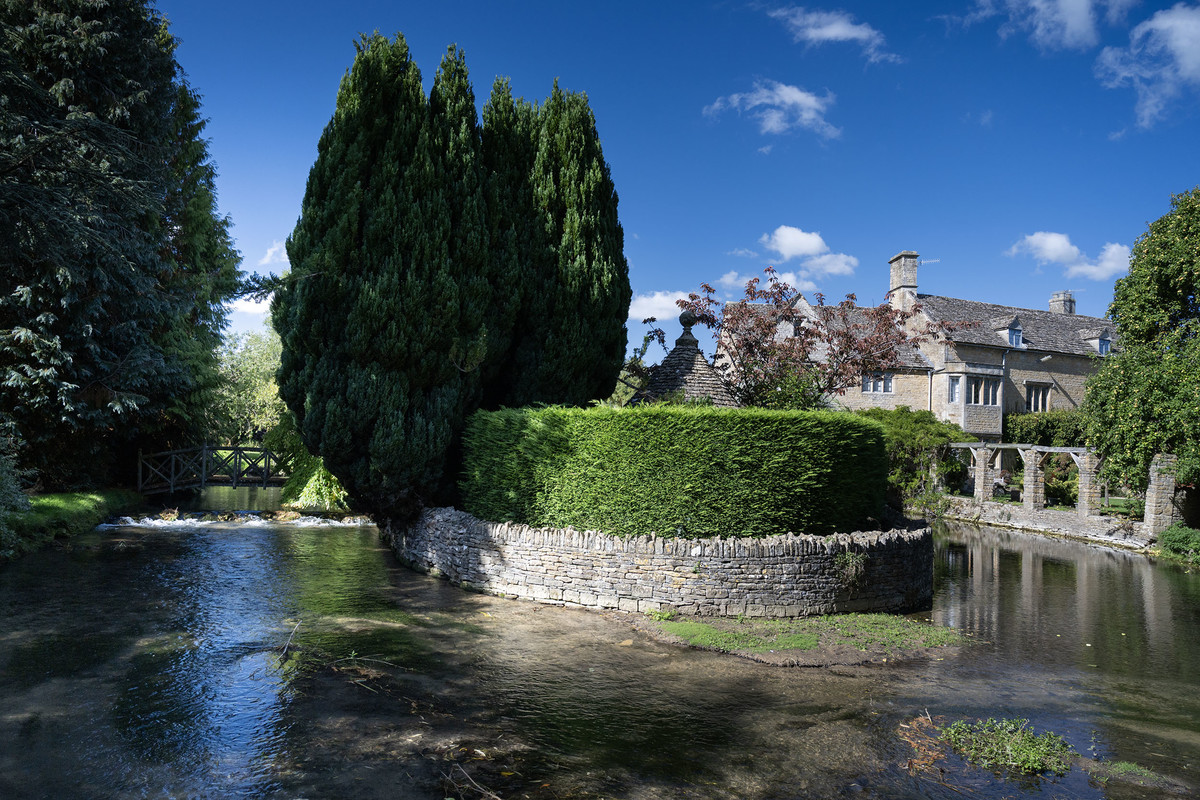
The River Windrush at Bourton-on-the-Water
WALK 5
Bourton-on-the-Water to Great Rissington
to be continued......